In response to The Daily Post’s weekly photo challenge: “Connected.”

The underground public transport in Japan – and the maps of these – seem perfect for this week`s photo challenge.
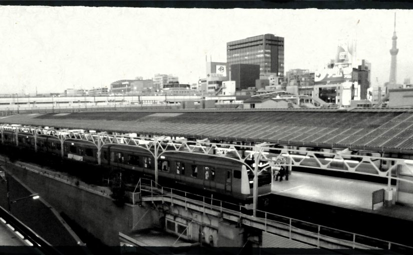
The city of Tokyo is so enormous that it would be impossible to travel via foot alone (belive me when I say this, I did try), so using the subway becomes vital for locals and visitors. In a city like this, the public transport becomes the main source of connection for locals within the city. The different rail lines are coded both by name and by colour, the underground stations marked with these codes. The stations themselves are build to achieve maximum efficiency for commuting in a city of 13 million people during the working day. And for the foreign traveller – a life saver! Colours are universal, so following the red line to get to the right train is indeed manageable for travellers from anywhere. But at the same time, standing in the train station as bigand as busy as an American shopping mall – I have never felt so disconnected.
For one, while the lines are indeed colour-coded, the station names are in Japanese. I lost track of the number of times I misread one name for another or misjudges “that one sign that looks like man with a top hat and a cane” with the ne sign that “looks more like a crooked tent with one pole flying in the rain” and ended up in some random part of the city. Luckily, you can just follow the same colour coding back to where you came from.
For another, while the station and the train is indeed as busy an an American shopping mall, something feels…off. It took me a few days to figure this one out; despite the masses of people, save for the click-clack of heels and tick-tack of suitcases on white tiled floors, there is no noise – no screaming kids, no casual conversation and small-talk, so hasty apologies for bumping into each other. With 13 million people, every single one turns into a disconnected human, blending out the world around them. And I, for one, felt disconnected by the sheer size and the sheer coldness of the city.
The above picture is one of the public transport network in Tokyo. It`s not a very good photograph – taken out of neccesity as a replacement to a map more than anything – and it doesn`t even come close to looking like the underground map of Tokyo. But I think you get the idea.
